Shift in Burning Timings: A Possible Strategy to Avoid Detection?

Satellite Data Sheds Light on the Issue Amid Ongoing Debate Over Government Data Accuration
In a recent analysis, NASA scientist Hiren Jethva points to possible evidence that farmers in north-west India and Pakistan may be intentionally altering their burning schedules for crop residue to avoid detection by satellite monitoring systems. The theory suggests that these farmers are timing their fires coincidentally with periods when satellites are not actively scanning the region.
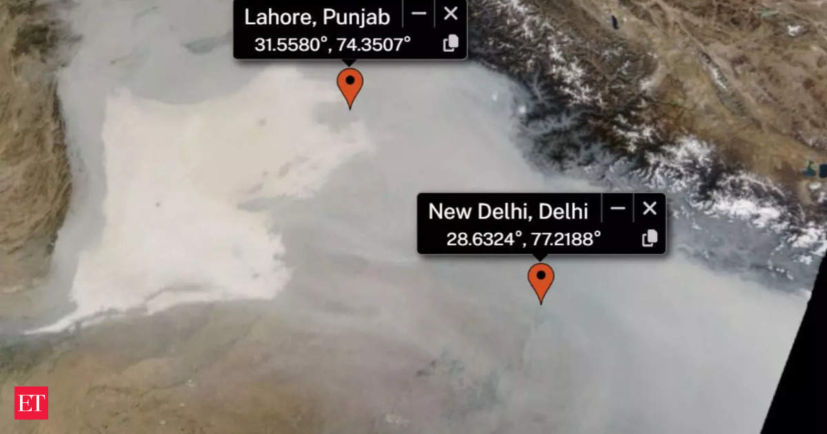
According to Jethva, a closer analysis of GEO-KOMPSAT 2A geostationary satellite images reveals localized puffs/clouds of smoke in late afternoon times, which appears to indicate intentionally avoided detection by NASA-NOAA satellite overpasses. His observation questions the accuracy of fire counts and further raised suspicion about the true extent of crop residue burning in the region.
Satellite Data Indicates Shift in Fire Times
The proposed explanation for the inconsistency between reported fire counts and unchanged aerosol levels suggests that farmers may be deliberately avoiding detection by exploiting differences in satellite coverage due to their geostationary orbits.
While NASA satellites like Aqua and Suomi-NPP pass over India and Pakistan around 1:30 pm to 2 am IST with an image resolution of approximately 250 meters, the GEO-KOMPSAT-2A geostationary satellite provides continuous monitoring every 10 minutes but operates in a wider orbit that enables capturing images at lower resolutions.
The scientific data suggests fire activities shifted from morning time around NASA's orbital pass time to late afternoon times with an observed concentration of smoke during these hours past when the former satellites cross India and its neighboring states, which has further fueled discussions about whether farmers are working strategically to minimize detection by monitoring systems.